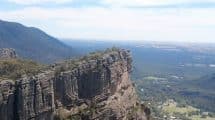
The Billimina Shelter is an excellent destination for a leisurely walk within the Grampians National Park.
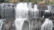
The walk begins at the Buandik picnic spot and takes you through the Billimina Creek to the Buandik Falls.
Billimina Shelter, History & Walk Trail Loop, Grampians National Park VIC
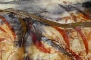
It’s believed that these bar lines, seen in rows, were used to keep count of events, but another hypothesis is that the Jardwadjalj people used it to tell how long they spent at the shelter. Due to the animal remains and stone tools that were excavated here, scientists were led to believe that it was used to shelter the people from the harsh winters up to the early summer. Some of the paintings are also depictions of animal tracks and human stick figures.
In fact, this area has the highest concentration of rock art sites in Australia, with over 80% of Victoria’s rock art sites located here. There have been around 60 of these sites with more than 4,000 motifs identified within the park alone.
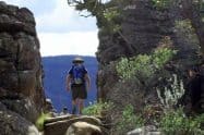
The walk to the Billimina Shelter takes just half an hour, and is 1.1 kilometres long. Before you head out, make sure to grab a map at the Brambuk – The National Park and Cultural Centre. Maps and visitor information may also be obtained from the Grampians Visitor Information Centre.
If you’re keen on exploring other shelters nearby, there are others which are also easily accessible and open to the public. Manja Shelter is the closest to the Billimina Shelter, while others include the Gulgurn Manja and Ngamadjidj shelters located up north, and Bunjil’s shelter which is situated near Stawell.















Do You Have a Question to Ask?